Saturday, March 19, 2011

Mud Mountain Recreational Area


This is a hike that has been on the radar since August of 2008. That is when I did the Federation Forest State Park trail and drove right by this one. In fact, they are listed number 56 and number 57 respectively within the book "60 Hikes With 60 Miles Of Seattle".


These hikes were too far of a drive from my previous digs in Snohomish, the payoff view didn’t sound all that impressive and the distances are just average. Now that I’m down here in Kent, it is a great opportunity to finish up the remaining southerly hikes from the book.

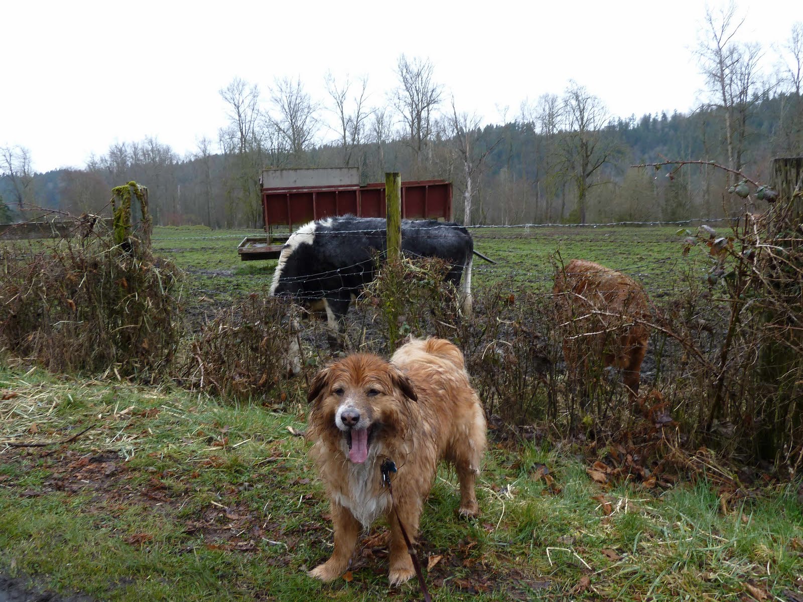
Seattle in March, you don’t have much choice for pretty hikes but this was OK. We got a late start because it was so foggy until about 10:30. Evidently, many others were in the same boat. Only two other cars were in the lot when we arrived and about ten when we left.

According to the book, this is about 6 miles. With the wrong turns I made (including a loop / that was a new one), we probably walked closer to eight miles.

All in all, a nice hike. Next time, I think we will try to do the Federation Park hike and this hike back to back.

Saturday, March 12, 2011

Wet Saturday On The Foothills Trail

Way back in 2002, the wonder dog and I left Illinois as I took a job in Fife Washington. The company I went to work for provided a furnished apartment for the first three months and I picked up a book called Rails To Trails. This trail was the first one that I explored from that book and today we paid it a return visit.

This is a hiking trail at all, flat blacktop in place of railroad track. Although it rained the entire time, we enjoyed it along with plenty of runner and bike riders. Well, enough of the commentary and on to the pictures.


One tired dog on the ride home!


Sunday, March 6, 2011

Sunday Hike At Rattlesnake Ledge


So I decided to forego taking the trip into Seattle to take advantage of the Emerald City Comic Con ticket I had. Really wanted to stretch my legs on another trail and decided to try the Rattlesnake Ledge hike again. The last time I did this trail was in June of 2008 and wanted to see what the winter version of this hike looked like.


A nice 1.8 mile trail that was part green and part white with snow. Quite a few switchbacks and this was a nice change from yesterdays road grade outing.


Where is the view? I can only guess it is there but you can click this link from my June 2008 excursion (Rattlesnake Ledge State Park) to see what it should look like. No fear, I’m sure I’ll do this hike again this summer since the apartment is so close to this trail.


Enjoying the snow!


Here are some of the final pictures with my Panasonic DMC-ZS6 camera. I had decided to try and use the small gorilla pod to take a picture of bogie and myself. Out of nowhere, a stiff wind blew and the camera went right into the lake! So another year of hiking and another camera destroyed! You would think I do this intentionally in order to keep trading up!

Squak Mountain - South Access Road


The sun came out on Saturday and decided I wanted to go back out to Squak Mountain and try one of the alternate trails. In fact, I had the South Access Road in mind which looked to be a low impact six mile round trip hike. I didn’t expect to see that much snow and it turned out to be a few inches at the worst part, perfect for hiking.


So the blue highlighted path is the route I had taken a couple Saturdays ago (see Saturday Squak With Rocks). This hike is highlighted in orange. I found this a very nice training hike and I even ran part of the way back. That is until I fell down (tumbled actually) when Bogies leach got wrapped up with a fallen tree. In fact, I went down the trail about 1/4 mile until I decide to check that I had everything. Key (check), wallet (check), phone (check), camera, camera, camera (ah hell). There it was, sitting right next to the tree, so no need to buy another camera yet. (update on this on my next post about the Rattlesnake Ledge hike on Sunday).


So you can see, this is a very flat road and not a trail.


Snow!


The end of the road is a microwave tower and there wasn’t any payoff view at all. Did chat with a nice couple here that took a series of trails in the opposite direction to reach this point. Oddly, I met them coming down from my Sunday hike (again on my next post Sunday At Rattlesnake Ledge).


On the way back, snapped this picture of some moss covered trees. As you can see, the rapid pace down to the trailhead took its toll on the wonder dog!

Tuesday, March 1, 2011

Exploring Green River Natural Resources Area


So the new apartment is about six miles from work and I’d noticed a couple markers for trails at both ends. I was wondering if they might connect and perhaps biking to work might be something available in the future. Most of the internet resources I found suggested this was the case but they stop short of what I need to be sure. Saturday I decided to try out a new set of insoles and walk to the Green River Natural Resources trail head. From there I would wander down that path to see where it connected to the Interurban Trail. Later in the week I thought I might take a walking lunch, find the closest Interurban Trail connection and see how far I get coming from the opposite direction.


The Green River trail is through a wet lands and provides a living space for many creatures within the local urban sprawl. Here you can see trying my pathetic zoom lens again to capture the image of a bald eagle perched on a utility tower right above me. Most assuredly he was ready to swoop down on any rabbit, mouse or creature of similar size as his afternoon meal.


This map turns out to be handy and I need to go back and take a bigger picture of it to meet my biking routing aspirations. You can see the big loop called the Lakes Trail. I live on that man made lake and walk around it every early morning with the wonder dog. So you can see Saturdays progress as I walked to 64th avenue, to the Puget Power Trail, to the Green River trail and ended at Van Doren’s Landing Park. I took this picture before I made the turn around and it is amazing this picture stops at that point.


The east trail is covered mostly with sandbags as a protection against winter flooding. Only a few inches of that side of the trail are exposed for walking.


So I tried to cross the bridge to the trail without sand bags. Thing is the bridge is one of the wire mesh kind and that totally freaks bogie out. His eyes must miss the details of the grading and appears to him that we are walking on thin air. So I decided this time to venture down the side with the sand bags.


So this is where we turned around for this excursion. I would imagine we walked about three miles before turning around for a total of six miles of exercise. It is nice to know a park is in the middle in case I have bike problems or need to use the rest room on the way to work. I haven’t ridden a bike to work in about twenty years, so this is still a theoretical assumption but one I like dancing around in my noggin.